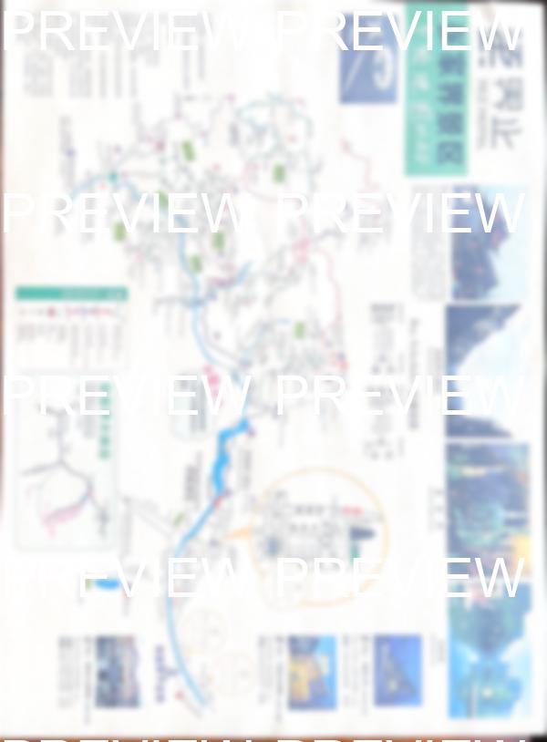
What's inside the Zhangjiajie park map
The most informative Zhangjiajie map — everything gathered in one place. There are plenty of maps online, but none give the full picture. This one does.
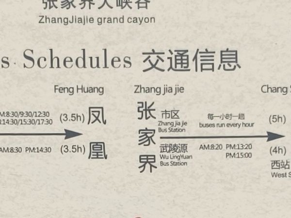
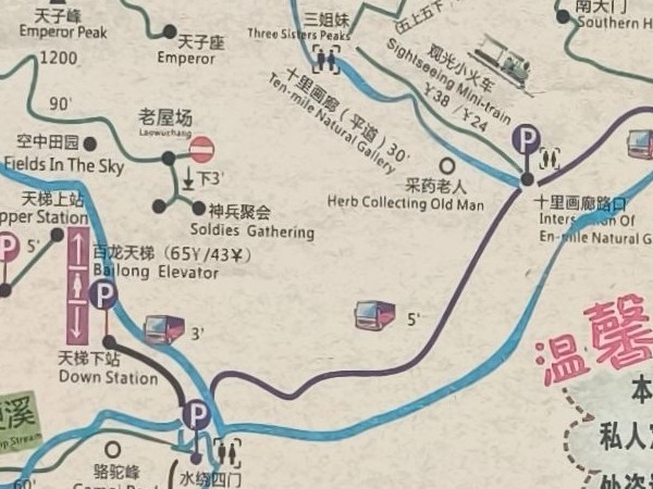
Timings between points
Exact walking times between key points of Zhangjiajie park — plan your route without guessing
Bailong Elevator and cable cars
Bailong Elevator (百龙天梯), Tianzishan and Huangshi Zhai cable cars, the Ten-Mile Gallery mini-train — every lift on the map
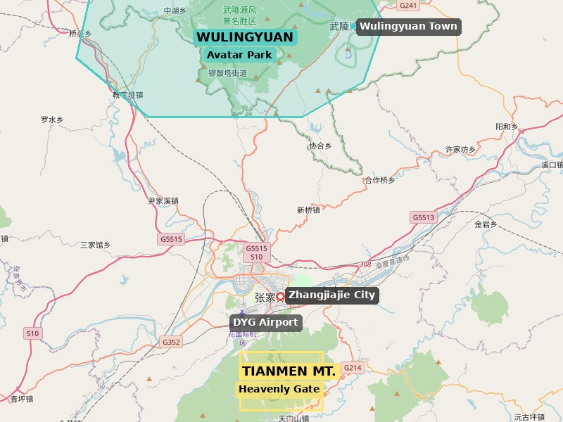
All park entrances
East (Wulingyuan), South and West entrances mapped to transport and bus routes
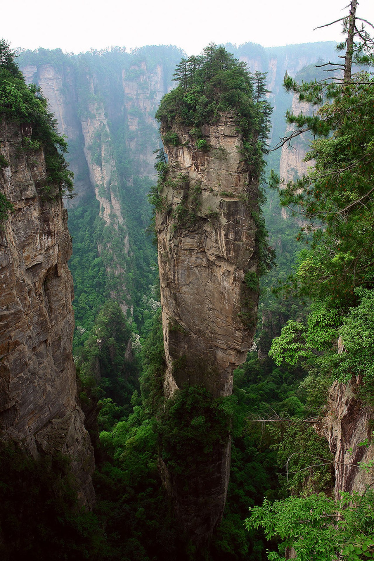
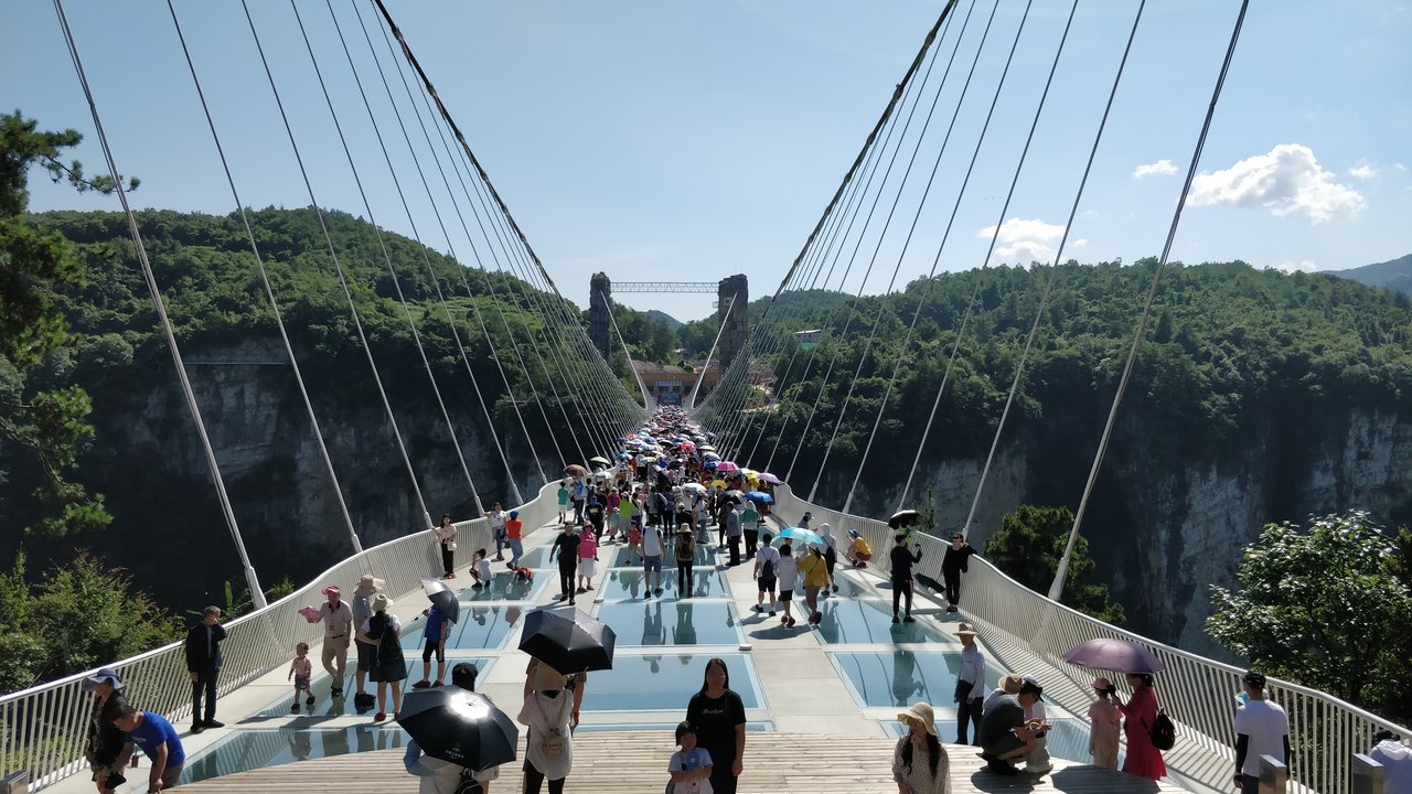
Zhangjiajie attractions
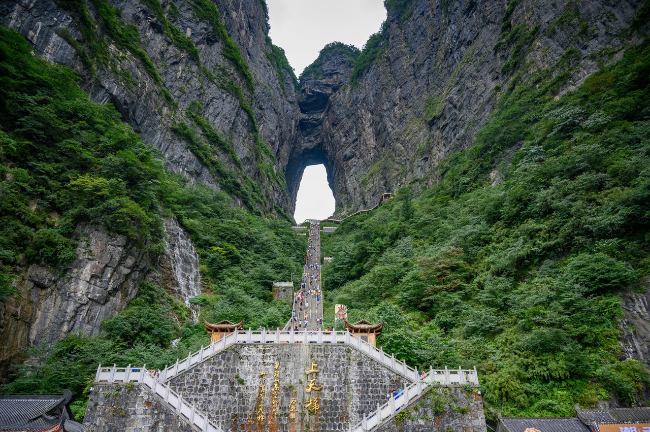
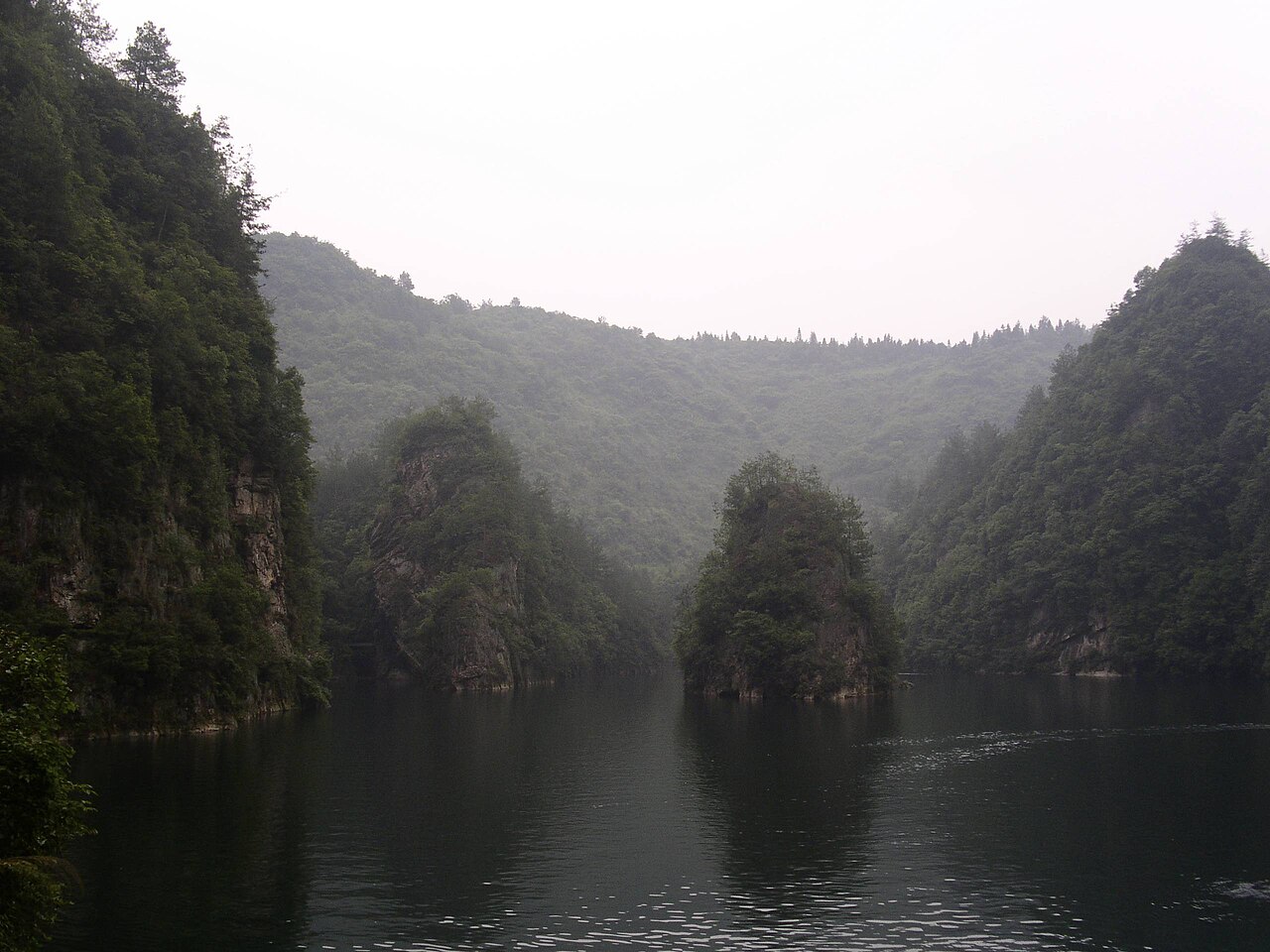
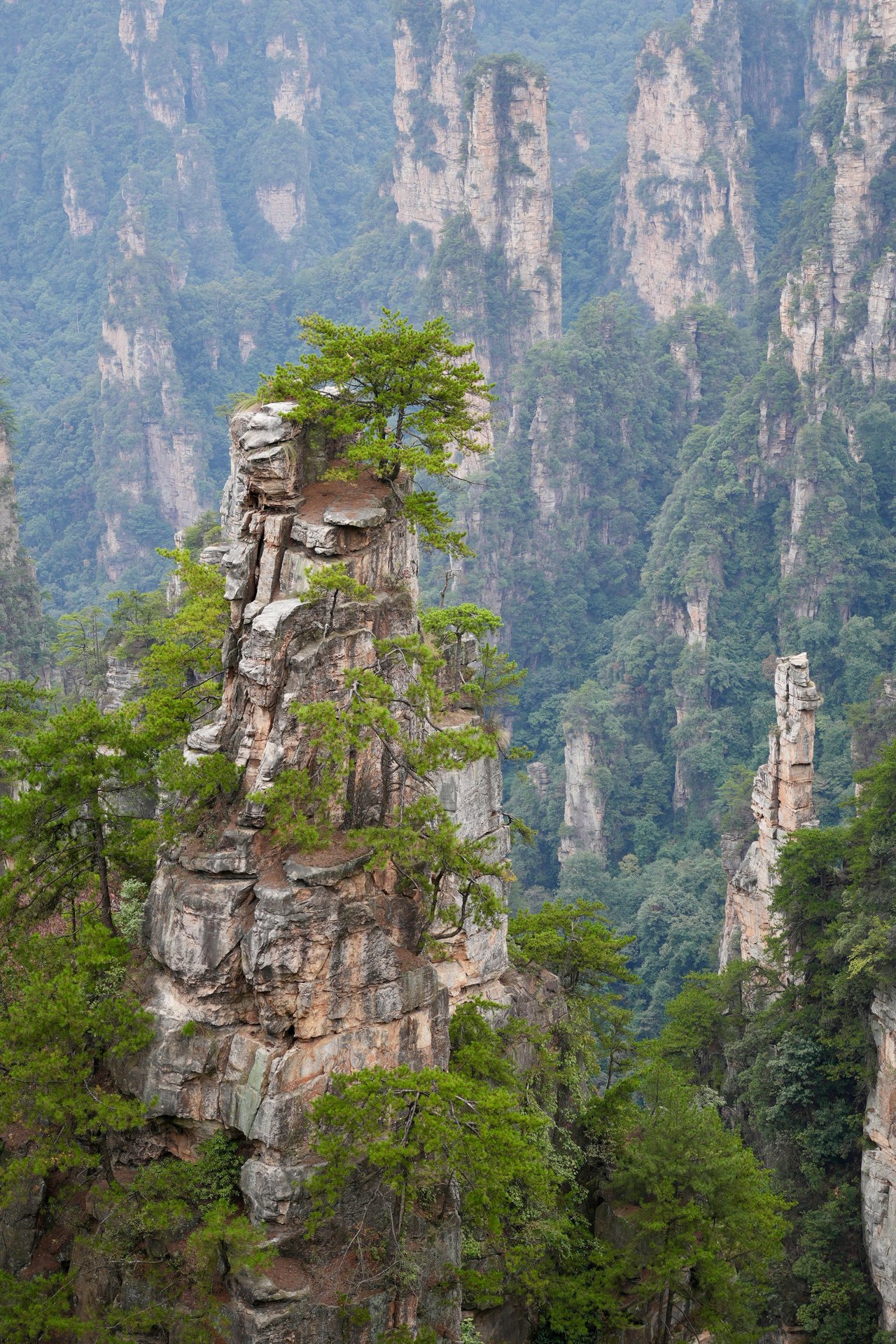
Avatar Hallelujah Mountain, First Bridge Under Heaven, Golden Whip Stream, viewpoints — miss nothing
Cafes and snack stops
Where to eat inside the national park — all cafes and shops marked on the map
Buses and transport
Routes of the free eco-buses, stops, how to reach the entrances from Wulingyuan town
English and Chinese
Names in both languages — convenient to show taxi drivers, bus drivers and locals
Clear park navigation
Hand-drawn map with clear markings — easy to read even without hiking experience
PDF for phone — offline
Download to your phone — the map works without internet. Google Maps is blocked in China, but ours works everywhere
Current info — 2026
The map is kept current: ticket prices, bus schedules, elevator hours — everything is up to date
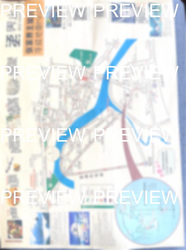
+ 2 bonus maps
As a bonus to the main map: Zhangjiajie city map + Tianmen Mountain — Heaven's Gate (天门山) map with routes A and B